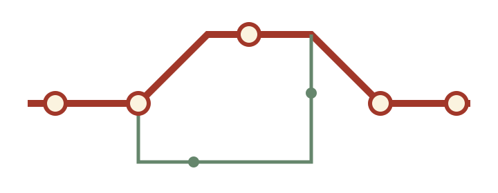
My first neighborhood map was a practical apology. I had given a visiting friend directions that depended on a red door, then discovered the door had been painted green. I drew a replacement on the back of a receipt, using the shape of the corner and a reliable public stairway. It was a better set of directions.
I have lived in Montreal long enough to collect several favorite routes and still find streets I cannot place without thinking. That combination keeps the project interesting. Familiarity gives me details; uncertainty makes me check them. I do most of the drawing at the kitchen table, where a broad windowsill holds paper flat while the ink dries.
My tools are deliberately modest: a black pen, a brick-red pencil, and a ruler with one chipped corner. I begin by drawing the journey from memory. Afterwards I walk it again and mark the places where my memory compressed a long block or forgot a turn. The difference is often the most revealing part.
I am not producing official navigation or accessibility information. Conditions change, and a quiet path on one afternoon can be busy on another. These pages describe my own observations and offer ways to make your own. Before a real journey, use current local information for opening hours, access, weather, and any route conditions that matter to you.
A useful correction
When a place changes, I keep the old sketch beside the new one. The correction becomes part of the neighborhood’s story.